“Legends are history’s “telephone game”. They start with a factual foundation but get dressed up in cinematic flair as they pass through the centuries, making the exact split between fact and fiction impossible to measure. They live in that flickering campfire light where documented history fades into pure imagination. While no one can find a precise mathematical equation for their accuracy, folklorists typically treat them as a historical seed that has been watered and overgrown by generations of creative retelling.” — quote from the December 2025 book Bedtime Letters: Colouring Book For Grown-Ups by Dan Costinas
Today: the working soul
If you’re looking to escape the crowds and find the “real” Algarve, something rugged and unspoiled, you’ll want to head either inland to the hills or to the quieter ends of the coast, where the rural settlements are defined by their whitewashed houses, blooming flower pots, cobblestone streets, and centuries of history ranging from Roman to Moorish influences.
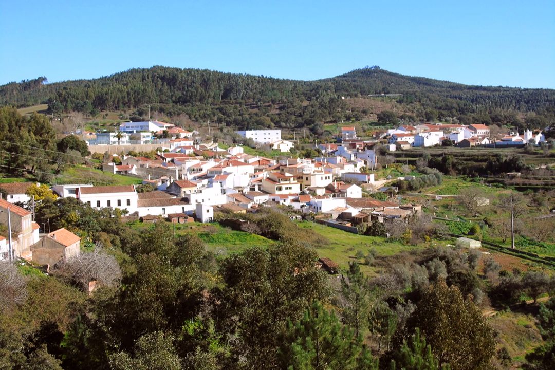
While the top ten most authentic villages in the region usually feature the famously quiet Alte (best for pure aesthetics), Cacela Velha (best for deep history) or Silves (for its castle), Marmelete is the place to see the soul of the Monchique mountains. A world away from the crowded coastal areas, the village sits at a cool 400 metres, its bright, pastel-trimmed cottages standing out sharply against the deep green of the cork oaks.
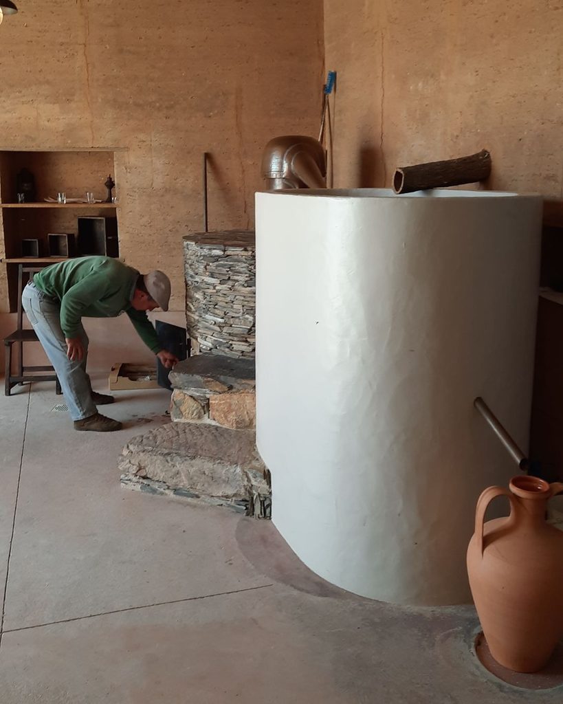
Marmelete doesn’t try to be pretty for tourists; it’s a village of cork harvesters, honey producers and pig farmers. Last but not least, if you want to try the Algarve’s famous “firewater” (aguardente de medronho), this is the place to go. The village has a dedicated museum-distillery where you can see how the berries from the strawberry tree are turned into potent brandy. You can also try Melosa, which is medronho mixed with local honey. A bit smoother, but still packs a punch!
The legend: sea and milk
While Marmelete doesn’t have a single founding date carved in stone, its history spans over a thousand years. Most historians believe the roots go back to the Moorish period. During this time, the Serra de Monchique was developed into agricultural terraces. The Moors introduced sophisticated irrigation and farming techniques that allowed small communities to survive in these steep, rocky hills.
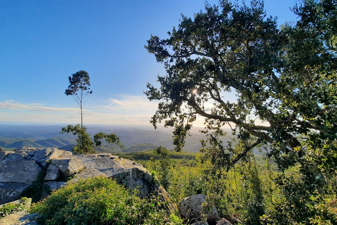
There is a popular local myth that the village was founded by a crew of Portuguese sailors who were shipwrecked on the stormy coast of the western Algarve centuries ago. Fearing further storms or pirate raids, the captain decided to head inland and upward, seeking the safety of the mountains. Exhausted and starving, they eventually stumbled into the lush, green valley where Marmelete sits today. Legend has it they survived on fish they brought with them and goat’s milk from the mountain, leading to the name Mar (sea) e (and) Leite (milk) – Marmelete. While linguistically unlikely (it more likely comes from marmelo, meaning quince tree, which grows in the region), it’s a story the locals love to tell and hold dear, even if historians raise an eyebrow at it. It’s a story born from the village’s unique position: tucked away in the clouds of the serra, yet close enough to catch the scent of the Atlantic on a windy day. You can glimpse the Atlantic Ocean on the horizon from nearby peaks such as Picota (774 metres) while goats and sheep graze in the valleys.
The legend suggests that when the sailors finally found peace in the valley, they declared they had everything they needed: the view of the sea and the gift of milk.
Beyond the myth: Marmelete 2026
The future development of Marmelete is focused on balancing its traditional charm with modern resilience. As of 2026, projects led by the Monchique municipality and funded by the EU aim to prevent rural depopulation and protect the unique mountain landscape.
The main goal is to keep the village economically viable so it doesn’t become just an open-air museum for tourists. Continued investment in local certification and facilities for the village’s main exports, black pig (porco preto) and medronho brandy, is underway, with ongoing efforts to modernise production to meet EU standards while preserving traditional methods.
The municipality has expanded mobile health unit services and social support sessions for local caregivers to assist the ageing population and keep the village habitable.
Because Marmelete is surrounded by dense cork oak and forests, house safety against the increasing threat of climate-driven wildfires is a top development priority.
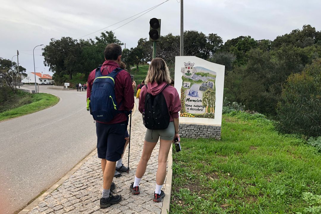
The village is being integrated into the Rotas, Trilhos e Veredas de Monchique (routes, trails, and paths) initiative. This includes improvements to the rural road network and funding for restoring traditional irrigation systems and agricultural plots, helping keep the rural landscape functional and scenic for slow tourism.
The future of Marmelete isn’t about high-rise hotels or massive expansion; it’s about achieving Smart Village status, using technology and EU grants to preserve the 400-metre-high-altitude lifestyle.
Fun fact
If you walk through the village, you’ll notice that the locals take great pride in their unique dialect and mountain culture. If you mention the Mar e Leite legend to a corner-sitter in a tavern, you’re almost guaranteed to get a smile and perhaps a longer version of the story, likely accompanied by a few small glasses of medronho.
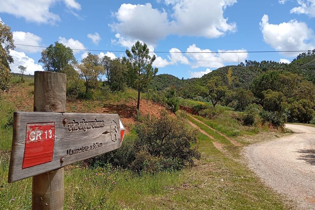
The network of routes and trails in Marmelete and Monchique is part of a concerted regional initiative to highlight the inner Algarve’s stunning mountain landscapes, biodiversity, and cultural heritage. Spearheaded by Monchique municipality in conjunction with the Via Algarviana, this trail system transitions visitors away from the coastal beaches and into the tranquil, terraced slopes of the Serra de Monchique.
Hiking Trails in and Around Marmelete
| Trail Name & Code | Route Category | Distance | Difficulty & Key Highlights | Official Guide Link |
| GR13 – Sector 11 (Monchique to Marmelete) | Long-Distance (Grande Rota) | 14.80 km | Reasonably hard (c.4 hours); traverses rocky massifs and terraces, passing near Foia (902 m) with panoramic Atlantic views. | viaalgarviana.org/en/209/setor-11—monchique-a-marmelete—1480-km |
| GR13 – Sector 12 (Marmelete to Bensafrim) | Long-Distance (Grande Rota) | 30.00 km | Hard; drops out of the mountain range down toward the coastal plain, requiring careful prep and extra water. | viaalgarviana.org/en/210/sector-12—marmelete-to-bensafrim—30-km |
| Sector 5 (Marmelete to Aljezur) | Connection Trail | 18.60 km | Connects the main Via Algarviana route at Marmelete directly to the western coastal town of Aljezur. | viaalgarviana.org/en/203/sector-5—cachopo-to-barranco-do-velho—2950-km |
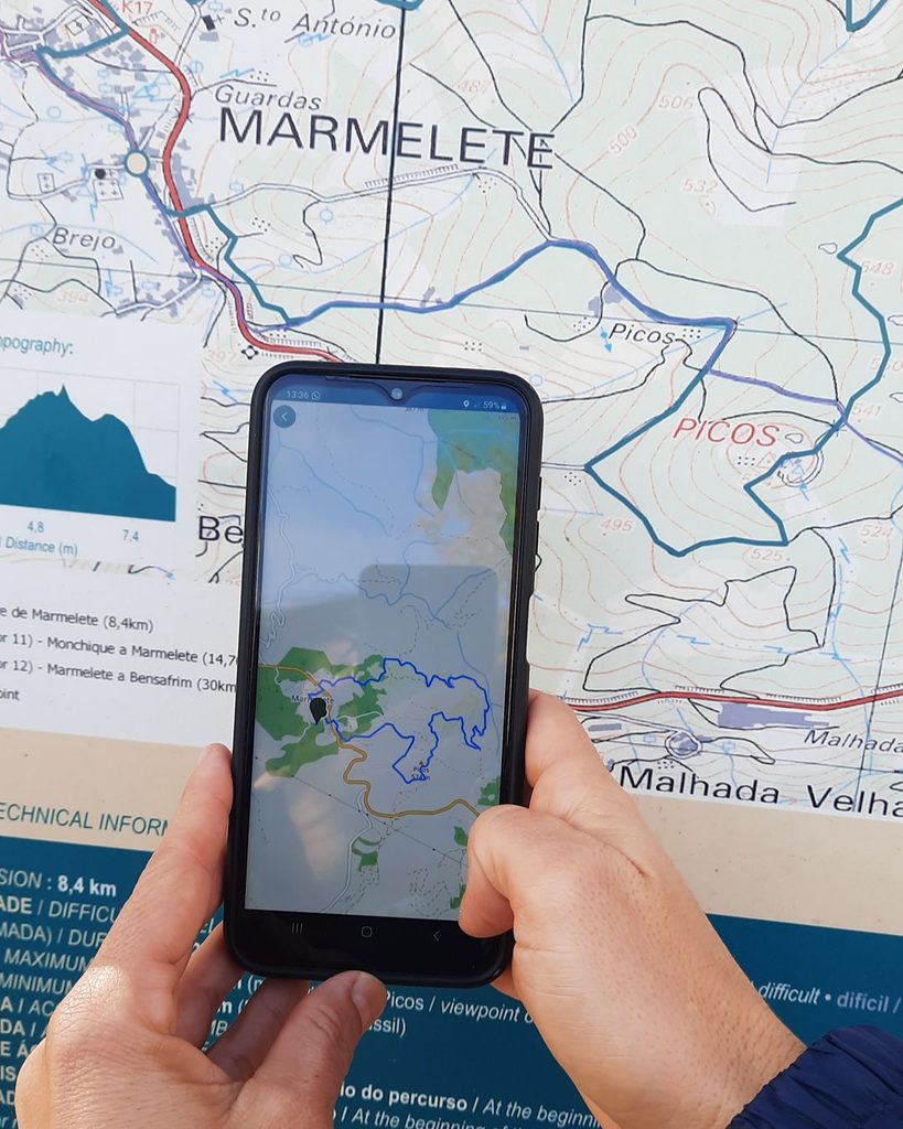
| PR6 MCQ – Marmelete | Short Route (Pequena Rota) | 8.40 km | Short circular trail exploring the local countryside, flora, and hills surrounding the village of Marmelete. | visitmonchique.pt/en/menu/1170/pr6-mcq—marmeletevisitmonchique.pt/en/menu/1170/pr6-mcq—marmelete |
| Rota da Geologia – Percurso 1 – Marmelete | Thematic Route | Local Walk | Focused thematic itinerary highlighting Marmelete’s unique rock formations and geological heritage. | viaalgarviana.org/en/628/rota-da-geologia-geology-route—monchique |
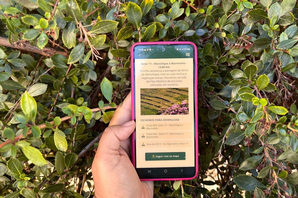
Free App
Download the free app, which has information and maps in five languages: Portuguese, English, French, German and Dutch.
Photos © www.jf-marmelete.pt / Associação Almargem