What will be shut tomorrow and how to stay safe across the Algarve and Portugal
With the rapid approach of Storm Charles across the Atlantic, mainland Portugal is bracing for one of the most severe weather events of the season. The Portuguese government has declared a nationwide State of Alert (Situação de Alerta) for tomorrow, Wednesday, 11 November, running from 00:00 to 23:59, while the National Emergency and Civil Protection Authority (ANEPC) has raised its operational readiness to Level 4—the highest response level.
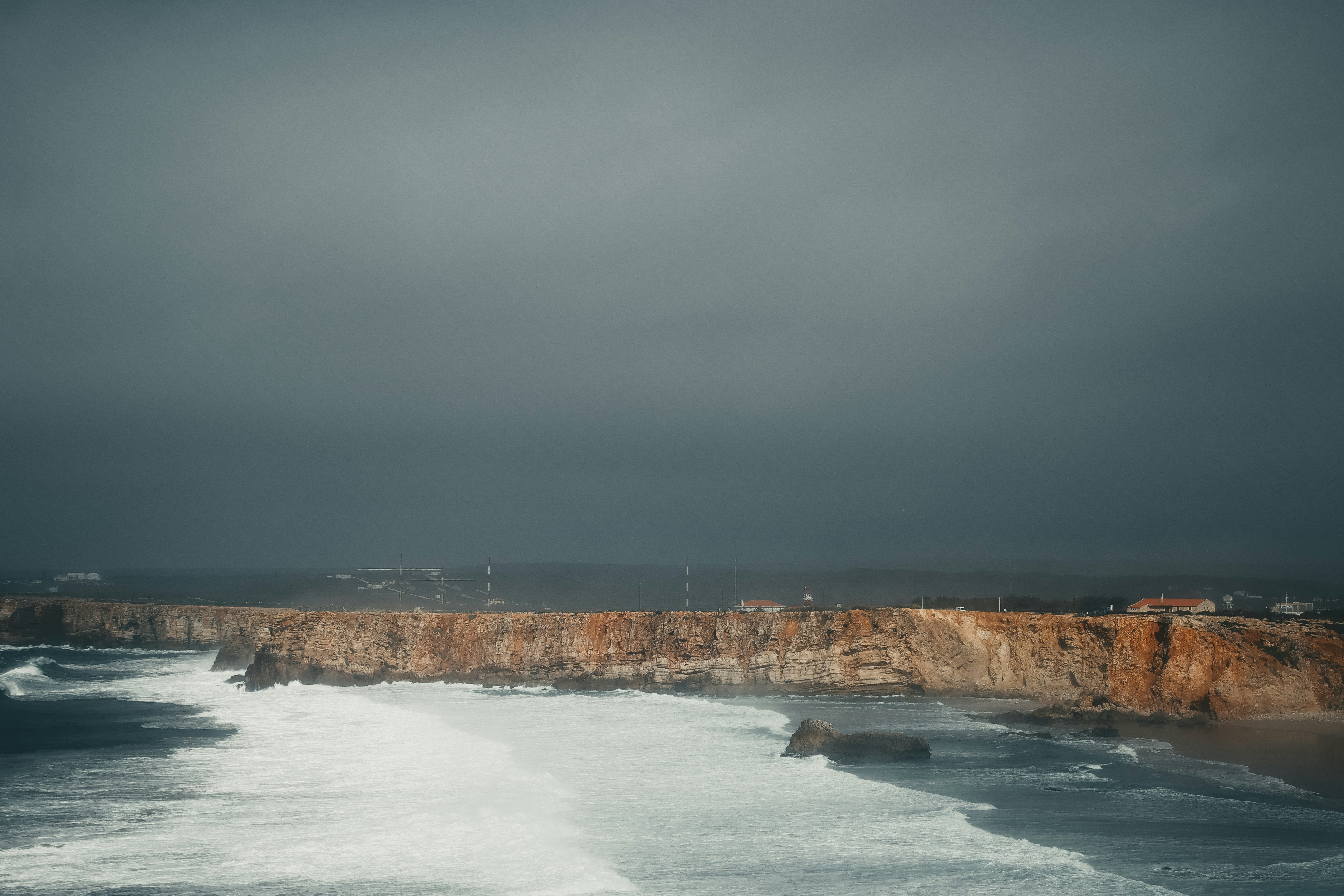
The Portuguese Institute for Sea and Atmosphere (IPMA) has placed eight districts under a Red Warning—the highest alert level—for destructive wind gusts: Faro (the Algarve), Beja, Évora, Leiria, Lisbon, Portalegre, Santarém, and Setúbal. Winds are forecast to reach 100 to 120 km/h, with gusts potentially peaking at 140 km/h in exposed coastal and elevated areas. In addition, Orange Warnings are active for persistent, heavy downpours, while marine conditions will be extremely rough, generating waves between 5 and 7 metres along the Algarve and central-southern Atlantic coastline.
Here is everything our Tomorrow community needs to know about closures tomorrow and the vital precautions to keep you, your home, and your loved ones safe.
What will be shut tomorrow (Wednesday, 11 November)
To minimise public risk and keep roads clear for emergency services, national and municipal authorities have ordered wide-ranging precautionary closures:
- All Schools Closed: The Ministry of Internal Administration has mandated the nationwide closure of all schools, universities, and educational institutions across all levels for the entire day.
- Non-Essential Public Services: All public administrative counters and non-essential municipal/state services will remain shut to the public.
- Parks, Forests, and Public Spaces: Municipalities across affected districts have closed access to public municipal gardens, parks, recreational areas, and woodland perimeter trails due to the danger of falling trees and branches.
- Tunnels, Cultural Venues, and Facilities: In major urban centres such as Lisbon, municipal tunnels, municipal cultural venues, and sports complexes have been ordered closed.
- Bridge Restrictions (Under Evaluation): Authorities are closely monitoring wind speeds and have said vehicle circulation over major exposed bridges may be suspended or restricted if gusts reach critical thresholds.
- Remote Work: The government has strongly urged public and private employers to facilitate teleworking wherever possible, allowing staff to avoid commuting.
- Airport and Flight Status: While airports in Faro and Lisbon have not been closed nationwide, severe weather may cause flight delays, diversions, or cancellations. Travellers are advised to confirm their flight status directly with their airline before travelling.
How to stay safe: Essential precautions
Civil Protection (ANEPC) and safety organisations strongly recommend taking protective measures immediately before conditions deteriorate:
1. Preparing Your Home
- Secure loose outdoor items: High winds will easily turn garden chairs, patio tables, sun loungers, flower pots, and awnings into dangerous airborne debris; bring them inside or lash them down securely.
- Check gutters and drains: Clear accumulated leaves and debris from roof gutters, downpipes, and courtyard drains to prevent water blockages and local flooding.
- Secure windows and shutters: Close all shutters and secure exterior windows. Stay away from large glass panes during peak winds, and close curtains to protect against glass splinters.
- Prepare for potential outages: Charge mobile phones, laptops, and portable power banks in advance. Have battery-powered torches readily accessible (avoid candles where possible due to fire risk).
- Store reserve water: Set aside clean drinking and sanitary water containers in case mains water supplies or pumping stations are temporarily affected.
- Avoid using lifts: Power cuts can occur unexpectedly; use the stairs instead.
2. Indoor safety during peak winds
- Stay indoors: The government and emergency services urge residents to stay at home and avoid leaving unless strictly necessary.
- Identify a shelter room: If wind speeds become violent (>120 km/h), move into an interior room away from exterior walls and glass doors, ideally on the lowest or ground floor.
- Thunderstorms: Avoid using landlines or running bath/shower taps during active lightning, and unplug sensitive electrical equipment.
3. Driving and road safety
- Avoid unnecessary travel: Do not drive during the height of the storm.
- Do not drive through floodwaters: Never attempt to drive across submerged roadways, low bridges, or underpasses. Just 15 cm of moving water can cause a vehicle to lose control or float, and submerged hazards or missing manhole covers may not be visible.
- Drive defensively: If you must drive in an emergency, reduce your speed significantly, double your following distance, and keep headlights switched on.
- Watch where you park: Park vehicles inside garages or in open spaces well clear of trees, utility poles, walls, and construction scaffolding.
4. Coastal and Seafront Hazards
- Stay off the coast: With waves between 5 and 7 metres forecast along southern and western shorelines, ocean waves and tidal surges can sweep over sea walls, jetties, and coastal promenades unexpectedly.
- Keep away from cliff edges: Saturated soil combined with battering winds creates a high risk of landslides and cliff collapses along the Algarve’s coast.
- Cancel sea activities: Avoid all recreational boating, coastal angling, surfing, and beach walks. Do not park vehicles on seafront avenues or near boat ramps.
Emergency contacts to keep handy
Keep these numbers stored on your phone in case you or a neighbour needs assistance:
- National Emergency Number:
112 - Civil Protection (ANEPC):
800 246 246 - Electricity Grid Faults / Emergencies (E-REDES):
800 506 506 - National Health Line (SNS 24):
808 24 24 24 - Official Weather Information: IPMA (www.ipma.pt)
Stay safe, look out for elderly or vulnerable neighbours, and keep tuned to official announcements throughout Wednesday.
Photo by Shana Van Roosbroek on Unsplash